
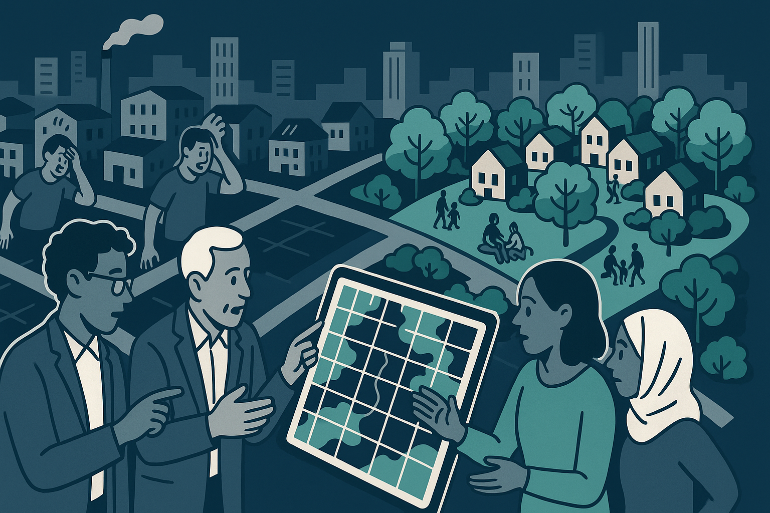

In Spokane, Washington, two publicly funded programs are planting free shade trees in the city’s hottest neighborhoods. The data behind the effort is specific: a 2022 heat island mapping project by the Gonzaga University Center for Climate, Water and the Environment found that the South Hill, with its heavy mature tree cover, runs up to 14 degrees Fahrenheit cooler than the treeless neighborhoods of West Central, East Central, and downtown. Fourteen degrees is not an aesthetic difference. It is a physiological one, with measurable consequences for mortality, energy costs, and infrastructure longevity.
The SpoCanopy and CoolCanopy programs are modest in scale — a federal grant requiring 500 trees planted annually through 2028, with organizers reporting they have already exceeded 1,000 plantings this year. The trees are tangible, the gap they address is documented, and the mechanism is well understood. What the programs reveal, quietly and without fanfare, is the shape of a problem that no private market has chosen to solve.
The Geography of Heat Is the Geography of Disinvestment
The neighborhoods running 14 degrees hotter are not randomly distributed. Urban heat islands follow historical patterns of disinvestment: lower property values, older housing stock, fewer trees, more impervious surface, less political leverage. The South Hill’s canopy did not arrive through any deliberate equity program — it accumulated over generations of private investment in high-value residential real estate. The cooling benefit is a byproduct of wealth, not a public good that was planned or distributed.
This is where the AI and remote sensing dimension of the Spokane story becomes structurally important, even if the programs themselves do not advertise it that way. The heat island maps that identified which neighborhoods needed intervention were produced using satellite thermal imaging, processed and analyzed with computational tools that have become standard in urban climate research over the past decade. Without that mapping infrastructure, the targeting of scarce planting resources would rely on anecdote or politics. With it, the gap between the South Hill and East Central is not an impression — it is a number, locatable on a coordinate system, reproducible, and difficult to argue away.
Remote sensing and machine learning have made urban heat mapping cheap enough that mid-sized cities can commission it. The Gonzaga Center did this in 2022. The result is that a city like Spokane now has better data about where its residents are being harmed by a warming climate than it has resources to address the problem. The data gap has closed. The funding gap has not.
The Productivity Gain That Does Not Pay for Itself
The sources note that shade trees enhance property values by up to 12%, preserve street paving infrastructure by reducing thermal stress on asphalt, and lower residential energy costs. These are real economic returns. They accrue, however, in dispersed and largely uncaptured form. The homeowner benefits from lower cooling bills. The city benefits from slower pavement degradation. The public health system benefits from reduced heat-related emergency calls. None of these beneficiaries directly funds the tree planting.
This is a textbook externality problem, and it maps onto the broader pattern visible in the Sedona service contracts approved July 14: a city government writing checks to nonprofits providing meals to seniors, transitional housing, recycling infrastructure, and library services because the market does not price these outputs at all. The Sedona council approved $2.4 million in contracts across seven organizations, with explicit acknowledgment that the funding is contingent on budget availability year to year. The Verde Valley Caregivers Coalition gets $130,000. Hope House, serving homeless families, gets $135,000 in its first contract. These are not rounding errors in a municipal budget — they are the entire operating basis for services that a growing senior population and a housing-stressed workforce depend on.
The pattern is consistent across both stories: technological tools have improved our ability to measure social need and environmental harm with precision. Satellite imagery tells us exactly which blocks are dangerously hot. Data systems tell Sedona’s council exactly how many meals the Community Center delivered and how fast demand is growing. The measurement capacity has scaled. The public investment has not.
Author’s Position
The same computational infrastructure that allows hedge funds to process options flow at machine speed, and that allows AI systems to price financial instruments in microseconds, also produces the urban heat maps that identified Spokane’s hottest neighborhoods. The technology is not neutral in its application — it serves whoever funds it — but in the public research context, it has genuinely improved the specificity of the problem statement.
That specificity is now being used to justify modest grant-funded tree planting programs while the structural cause of urban heat islands — the decades-long pattern of capital flowing toward already-green, already-cool, already-wealthy neighborhoods — goes unaddressed. Knowing, with satellite precision, that East Central Spokane runs 14 degrees hotter than the South Hill is useful. Treating that knowledge as sufficient, as though better measurement substitutes for redistribution, is not.
The Spokane programs will plant trees. Some of those trees will survive. The neighborhoods will be marginally cooler in 2038 than they would have been otherwise. Meanwhile, the summers are getting longer, the heat events more frequent, and the gap between what the physics requires and what the funding delivers is measurable. The numbers do not close.
References
Perspectives

Precision without redistribution is not progress — it is a more detailed inventory of neglect, and municipal governments have confused the map for the intervention. The cognitive failure here is classic information-action decoupling: institutions respond to measurement by publishing dashboards, holding press conferences, and commissioning further measurement, because measurement is legible and fundable and does not require taking anything from anyone. Spokane can now tell you, to the degree, that the neighborhood without political representation is 14°F hotter than the neighborhood with it — a finding that will be presented at a conference and filed. The institutional mechanism that produces urban heat is the same one that produces the inadequate response: capital flows toward areas that already have canopy cover, tax base, and organized constituencies, and no amount of remote sensing changes whose preferences get aggregated into budget decisions.
The incentive structure that produced Spokane’s heat map is the same one that produced the heat: capital flows toward neighborhoods where returns are predictable, which means canopy cover, green infrastructure, and cooling investment have always tracked property value rather than physiological need. Remote sensing made the disparity legible at the block level, but legibility is not leverage — the data tells you exactly which residents are absorbing a 14°F penalty for being poor in a hot city, and then it stops, because measurement systems are cheap to fund and redistribution is politically costly to the people who fund things. A tree planted through a municipal grant program is not nothing, but it matures in twenty years and provides shade to whoever can afford to stay in the neighborhood by then, which is a subsidy to future gentrification dressed as environmental justice. The technology scaled because it served the interests of people who prefer precise descriptions of inequality to the tax structures and mandatory investment requirements that would actually close it.

The neighborhood that used to have block parties in July no longer does — not because people stopped wanting to gather, but because standing outside in 104°F heat is a medical event, and the trees that would have made it survivable were never planted because they were never profitable to plant. Spokane’s new heat maps are genuinely impressive technology: we can now document, to the degree, exactly how much more the poor neighborhoods cook than the rich ones, which is the kind of precision that produces excellent conference presentations and zero additional canopy cover. The market did not plant trees in Delmar-Longfellow because the people there could not pay for the externality they were absorbing, and a satellite image of that fact, however high-resolution, does not change the underlying incentive structure. What is being lost is the July evening outdoors, the front-porch conversation, the street as a place where neighbors become neighbors — and we now have the technology to watch it disappear in accurate color.

The same remote sensing and machine learning stack that just mapped Spokane’s heat signature to the degree is going to unlock a multi-trillion dollar urban climate intelligence market, and the people calling this a “redistribution problem” are anchoring to a 1970s policy framework while the technology has already lapped them twice. Hyperlocal thermal data at this resolution means cities can finally *price* heat risk into development decisions, insurance products, green infrastructure bonds, and private cooling solutions the way GPS pricing transformed logistics — the measurement layer is exactly where the revolutionary opportunities always begin. They said the same thing about precision agriculture satellite data, that better maps were useless without government land reform, and somehow the private sector built a $20 billion precision ag industry anyway. We are so early on urban climate tech that the skeptics arguing about redistribution haven’t even noticed the funding wave forming behind them.